 |
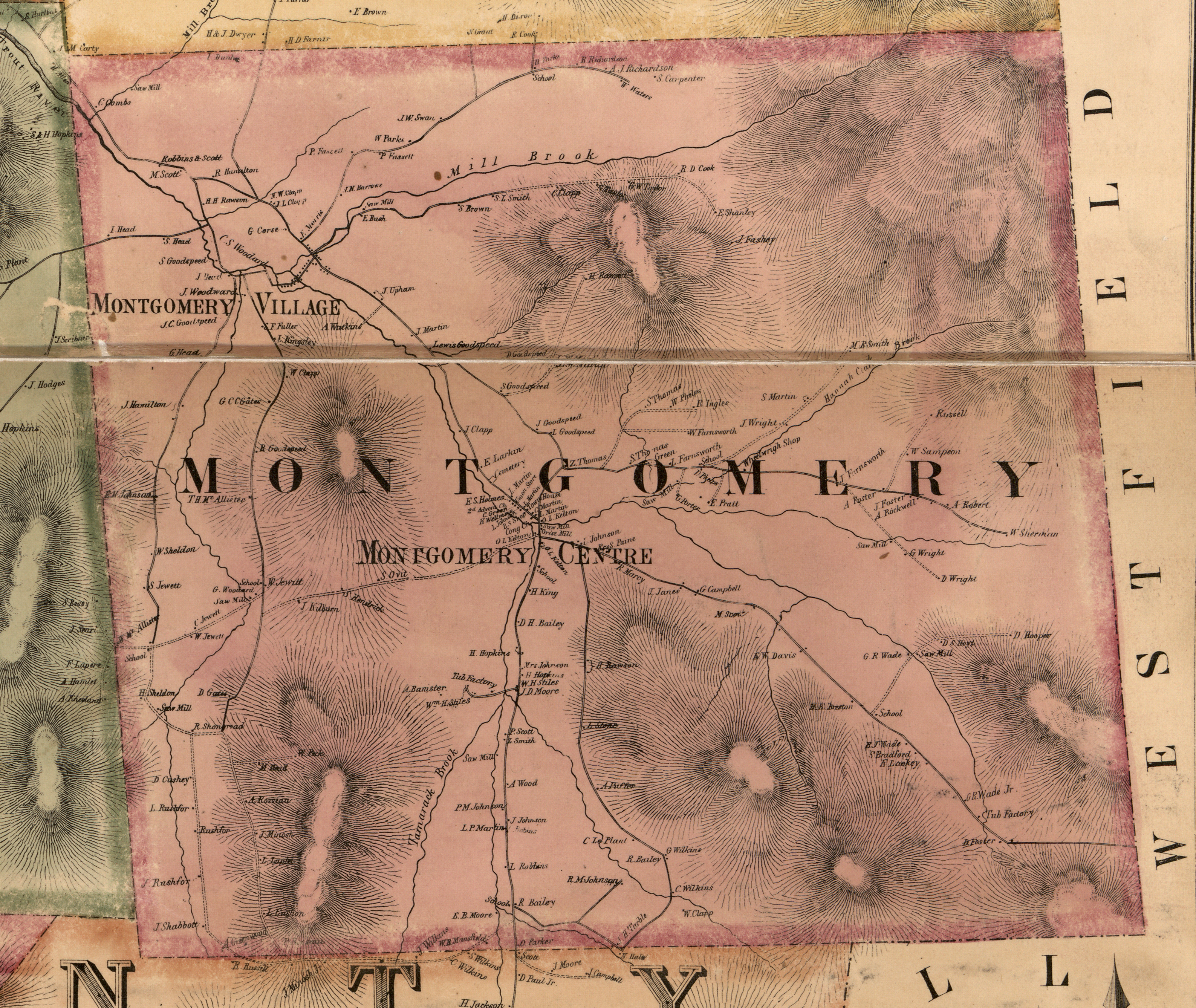
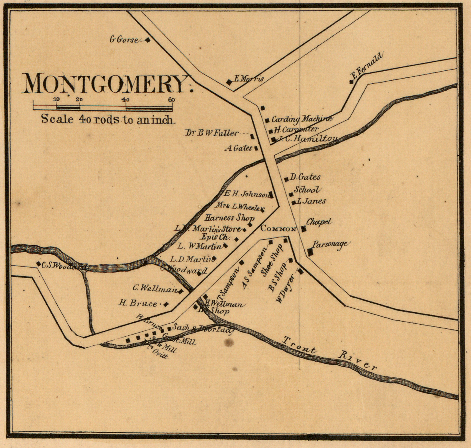
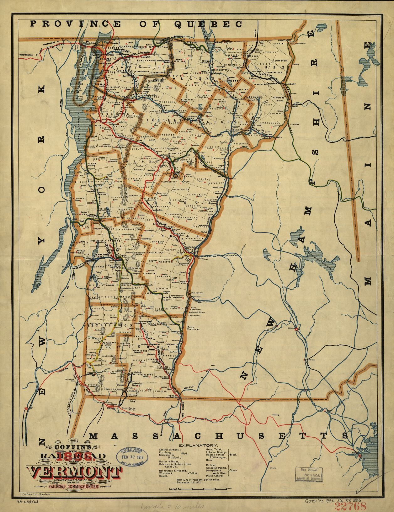
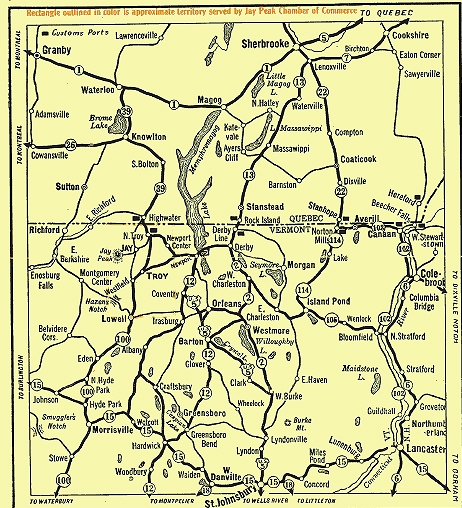
Historic
Montgomery
& Area Maps |
|
HOME
DIRECTORS
BYLAWS
MEMBERSHIP
NEWS
DONATIONS
CALENDAR
AWARDS
PRATT HALL
HISTORY
COVERED BRIDGES
|
Historic
Montgomery
& Area Maps |
|
HOME
DIRECTORS
BYLAWS
MEMBERSHIP
NEWS
DONATIONS
CALENDAR
AWARDS
PRATT HALL
HISTORY
COVERED BRIDGES